Mapping + analytics
See the pattern. Make the next move.
We combine GIS, local knowledge and clear visual design to help communities understand place, communicate evidence and make informed decisions.
Mapping + Data Strategy Lead · Nick Mannone
Mapping services
Evidence made visible.
Maps become decision tools when technical accuracy, community knowledge and communication design work together.
01GIS + spatial analysis
02Zoning + service-area mapping
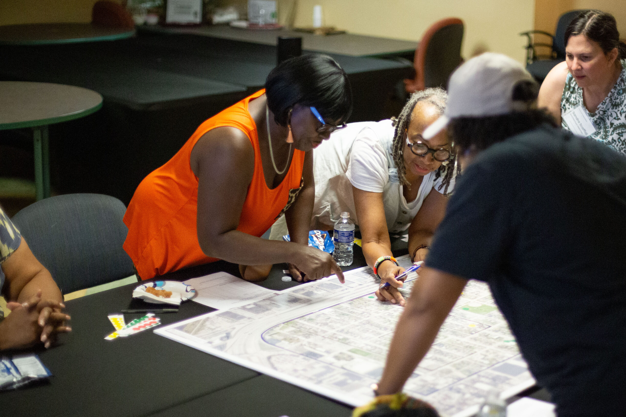
03Community knowledge mapping
04Data visualization
05Interactive web mapping
06Map redesign + communication
01 · Gather
Connect data + experience
Bring together available datasets and what residents know firsthand.
02 · Analyze
Find spatial relationships
Test assumptions, reveal patterns and frame clearer questions.
03 · Communicate
Design for understanding
Create maps that make evidence easier to discuss and use.